Ano Syros
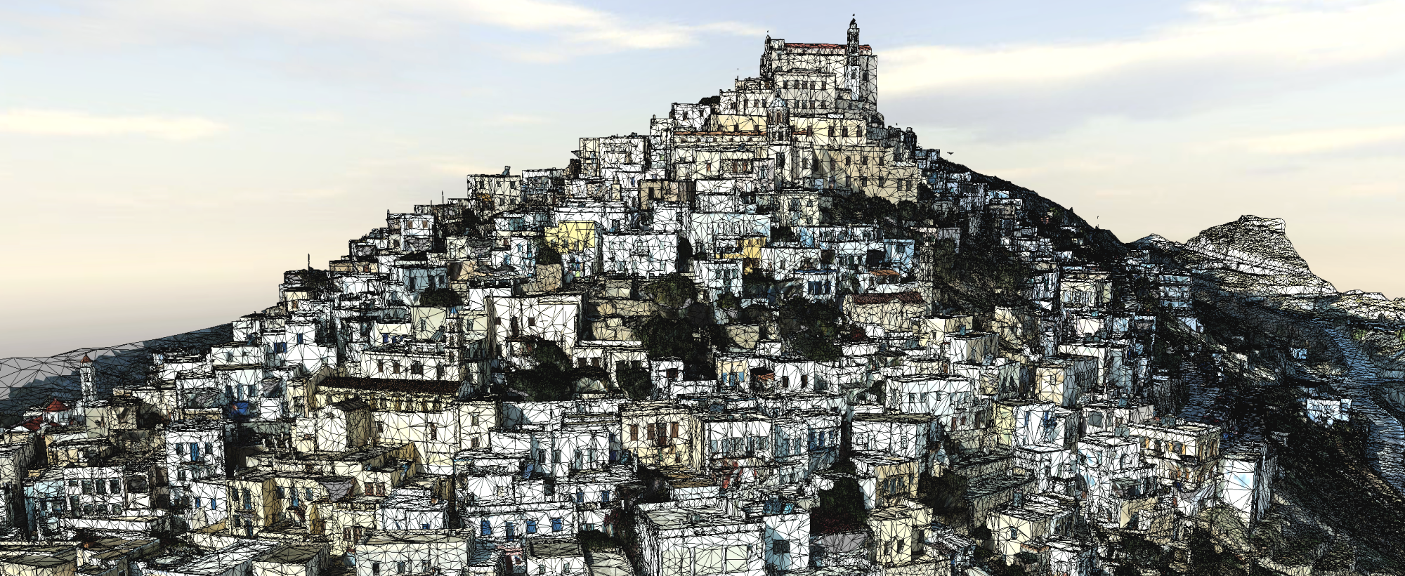
3D photorealistic model of the entire settlement of Ano Syros. The settlement was captured by aerial photographs taken from a suitable UAV (DJI Phantom 4 RTK) and then, with the necessary photogrammetric processing, the three-dimensional photorealistic model of the settlement was produced. In total, eighteen flight missions were carried out and 3286 photographs were taken, while the ground cover was 0.732 km2.
| Building | Description | 3D Data |
|---|---|---|
| KK051| Museum of Traditional Professionals (Μουσείο παραδοσιακών επαγγελμάτων) 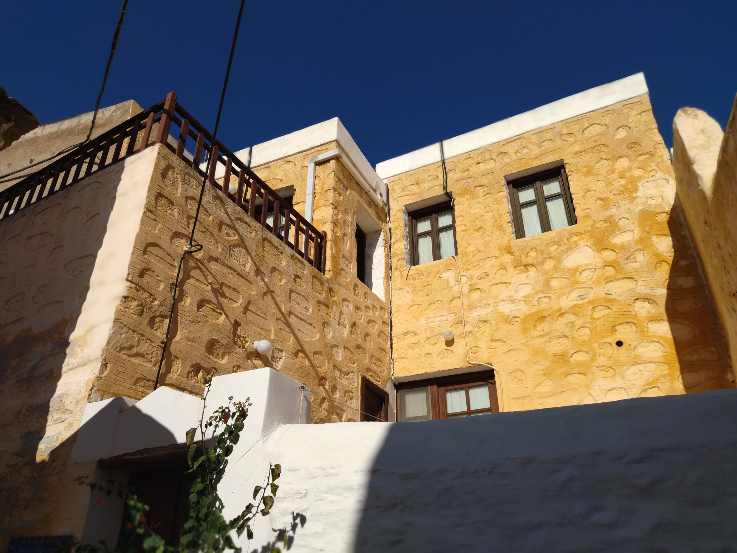 | The Museum of Traditional Professionals building was captured using powerful 3D laser scanners (Faro Focus M70 Scanner & Faro Focus S350 Plus Scanner). | 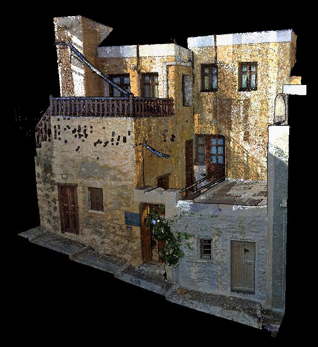 |
| AK058 | House of Proveleggios (Κατοικία/ Προβελέγγιος) 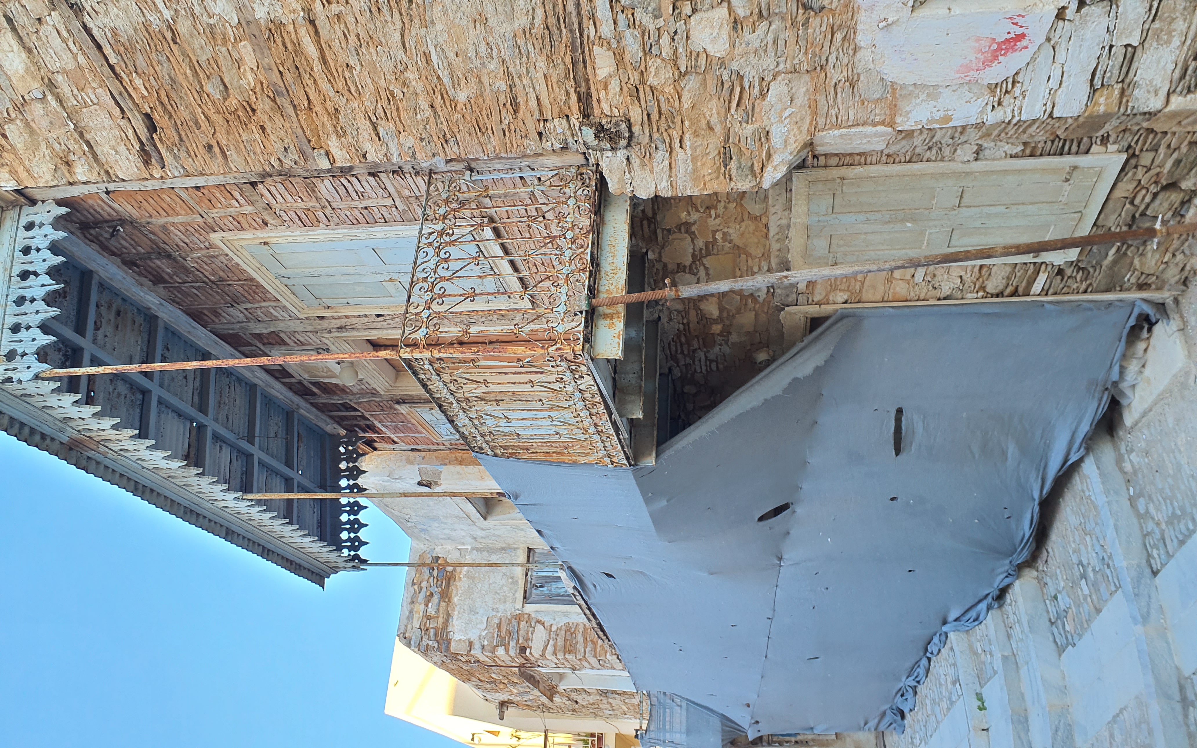 | The house of Proveleggios was captured using powerful 3D laser scanners (Faro Focus M70 Scanner & Faro Focus S350 Plus Scanner). | 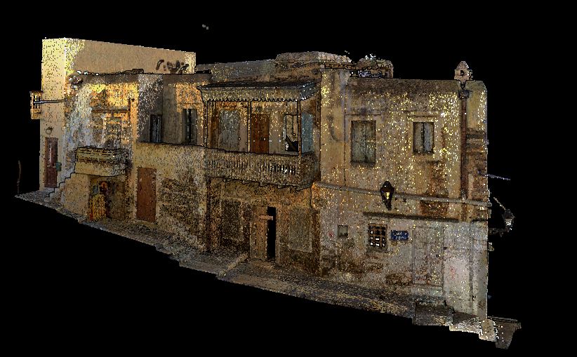 |
| AK022 | Former City Hall (Δημαρχείο) 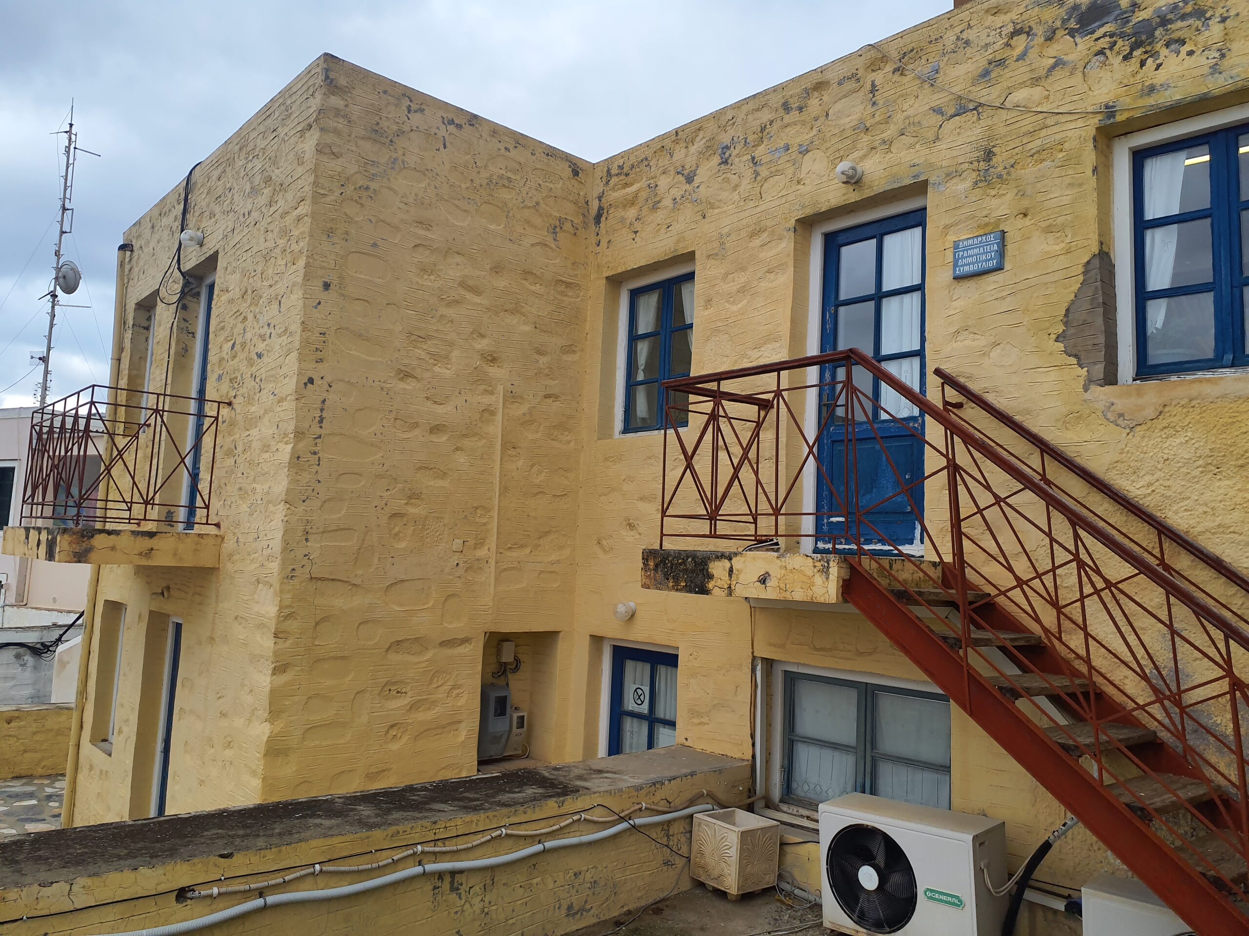 | The former City Hall building was captured using powerful 3D laser scanners (Faro Focus M70 Scanner & Faro Focus S350 Plus Scanner). | 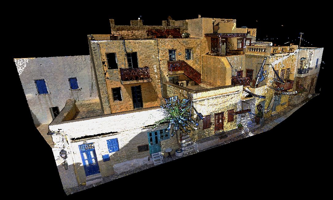 |
| AK074 | Holy Monastery of Agios Ioannis (Capuchin) (Εκκλησία Άγιος Ιωάννης) 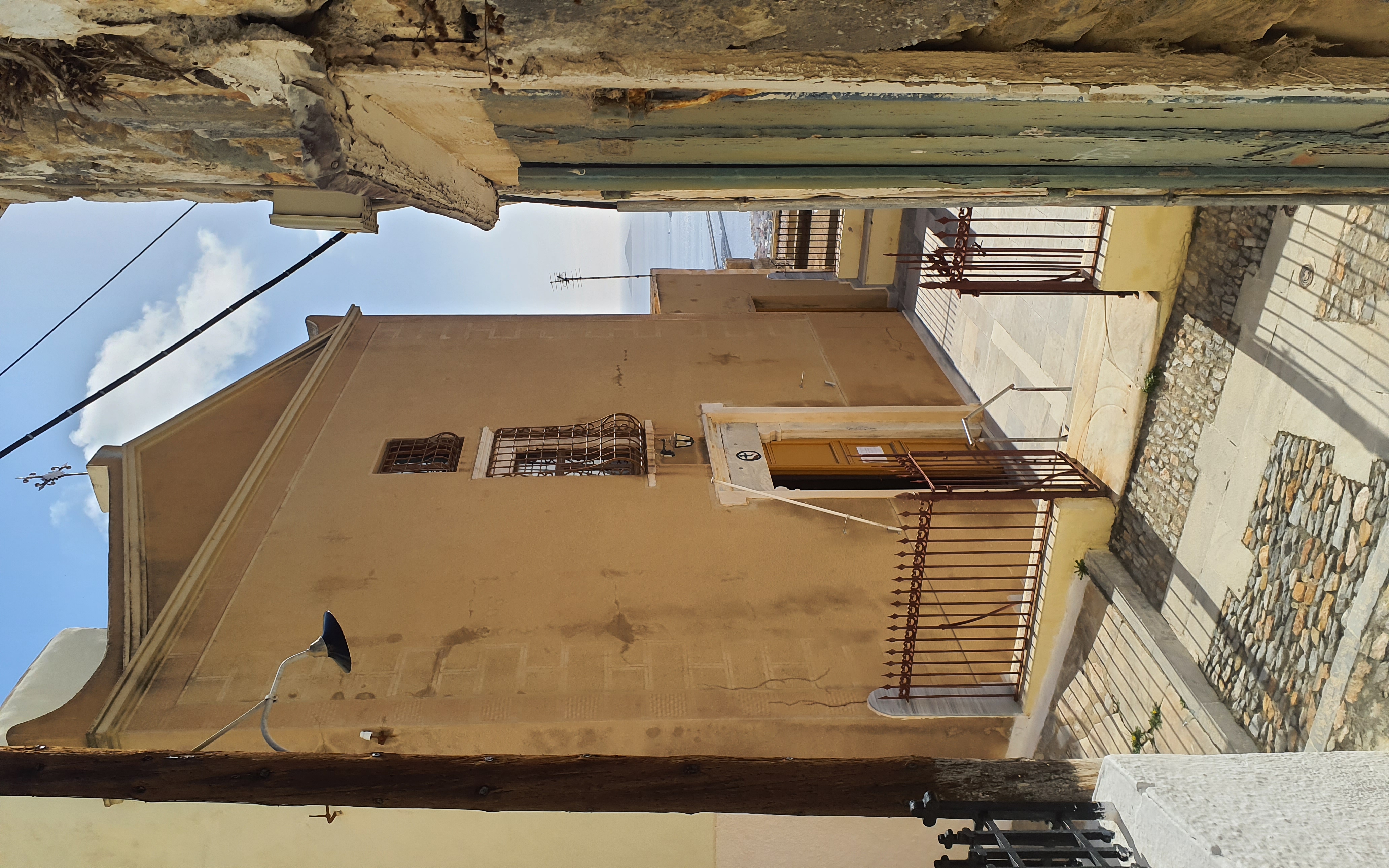 | The Holy Monastery of Agios Ioannis (Capuchin) was captured using powerful 3D laser scanners (Faro Focus M70 Scanner & Faro Focus S350 Plus Scanner). | 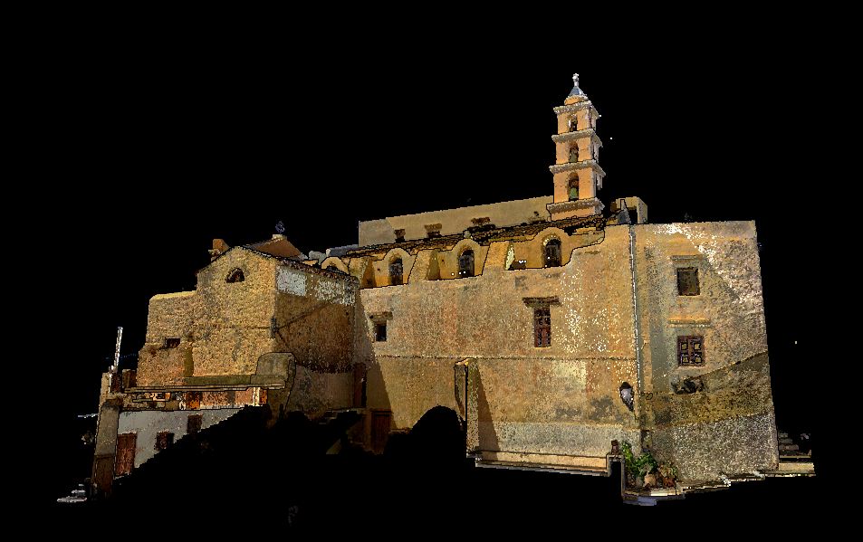 |
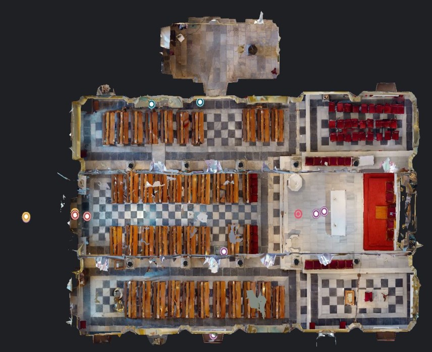
| AK066 | Saint George- Cathedral of Agios Georgios (Άγιος Γεώργιος – Καθολικός Μητροπολιτικός Ναός) 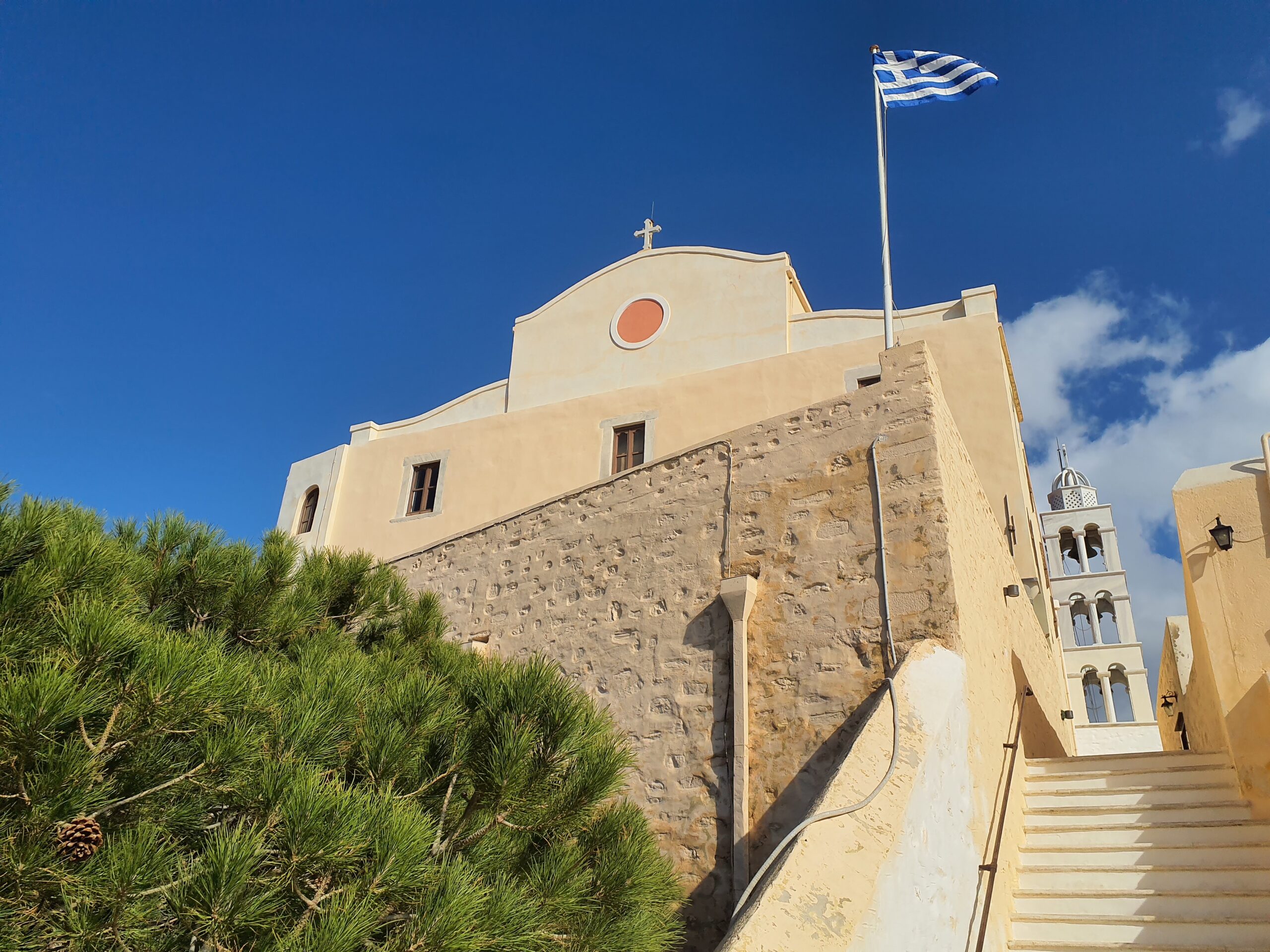 | The Cathedral of Agios Georgios was captured using powerful 3D laser scanners (Faro Focus M70 Scanner & Faro Focus S350 Plus Scanner), as well as the Matterport Pro2 3D camera. | 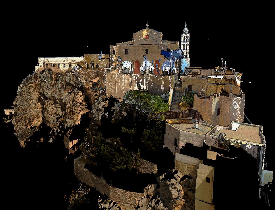 |
 | Cathedral of Agios Georgios in Potree application. | 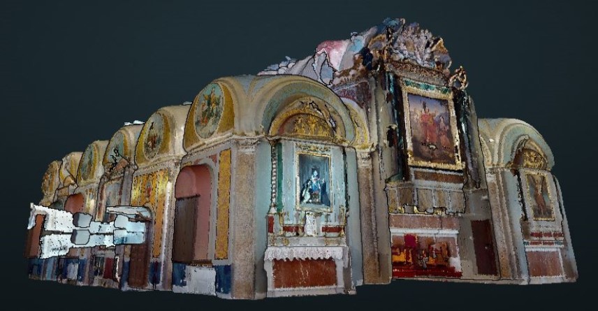 |
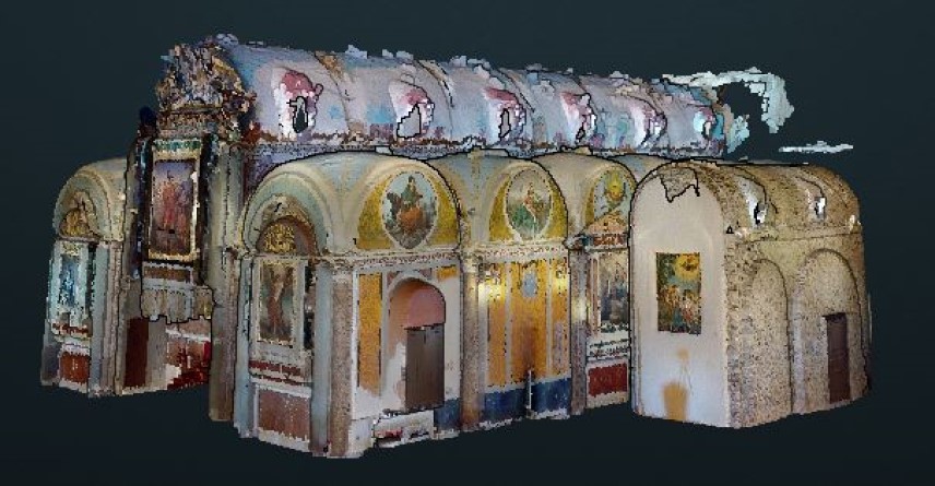
 | Inside view of Agios Georgios in Matterport application. | 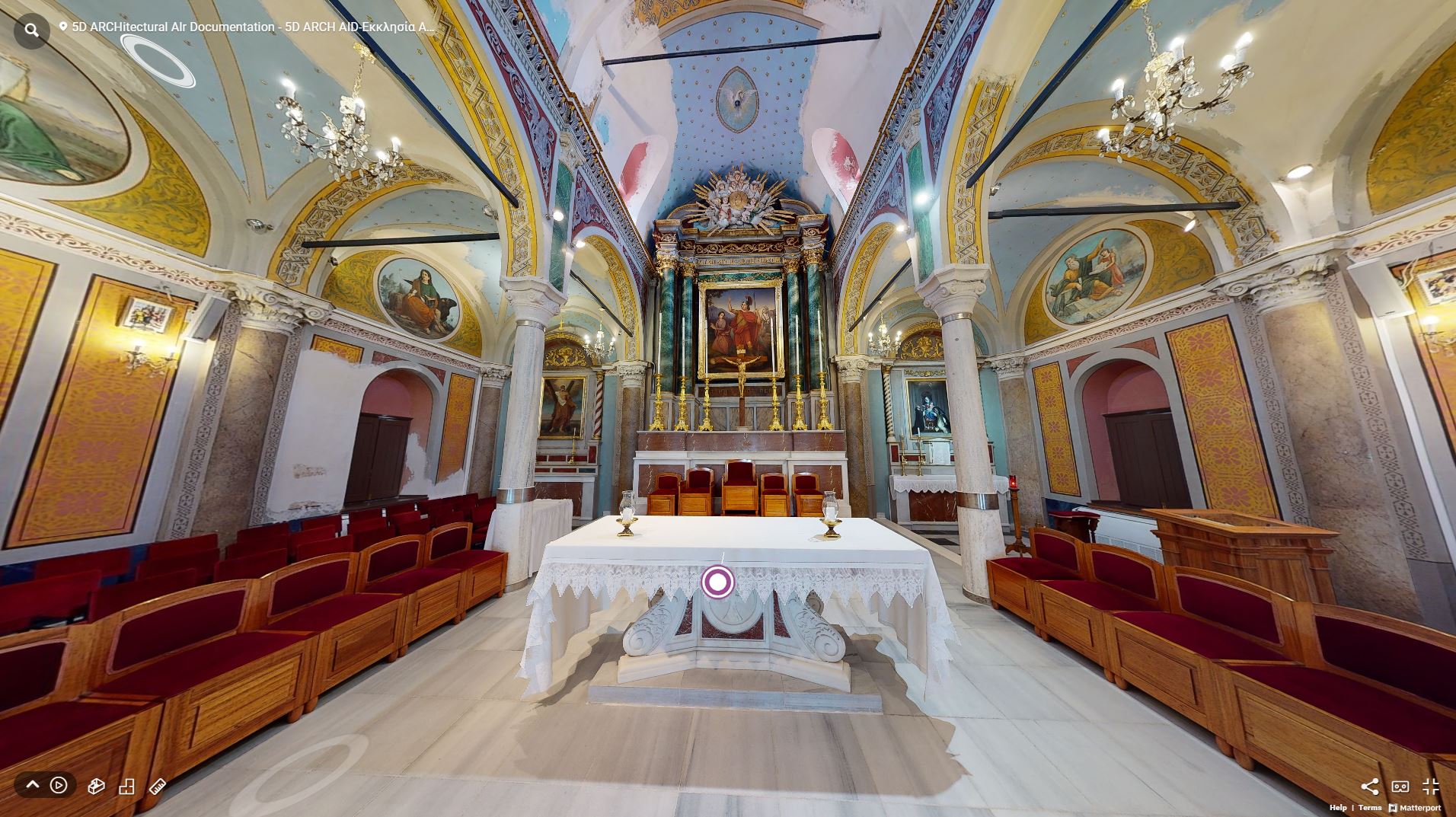 |
Digital mapping of the network of routes within the Ano Syros settlement
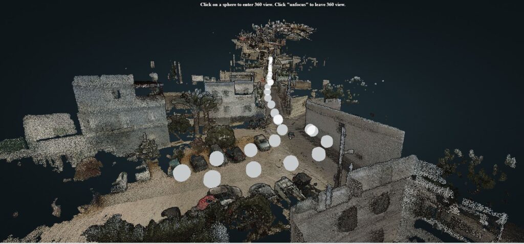
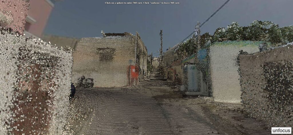
Digital mapping of the network of routes within the settlement. The nature of the settlement did not allow the documentation – photography of the routes of interest using a moving medium and therefore the recording was done on foot. The GoPro Fusion camera was used for this task, which records through its two eccentric cameras, the space in the form of a 360-degree (spherical) 4K resolution image, as well as the Heron MS TWIN Color Scanner. This scanner scans while the user walks and every 10 meters the user stops to take a panoramic image to get the color information needed to add it to the created point cloud. A total of 9 trips were made and 4,896 of 3600 images were taken.